p·placesCOLOGNE / OPEN CITY
50°56′N   6°57′E   /   GERMANY

A whole city.
Your own pace.

From the cathedral to the riverside.
Step into Cologne and find your way.

buildings31.2 km² to explore
Drag to orbit · Scroll to zoom
Double-click the map to walk there
YOU ARE EXPLORING

Altstadt-Nord

Cologne, on foot.
WNE
+
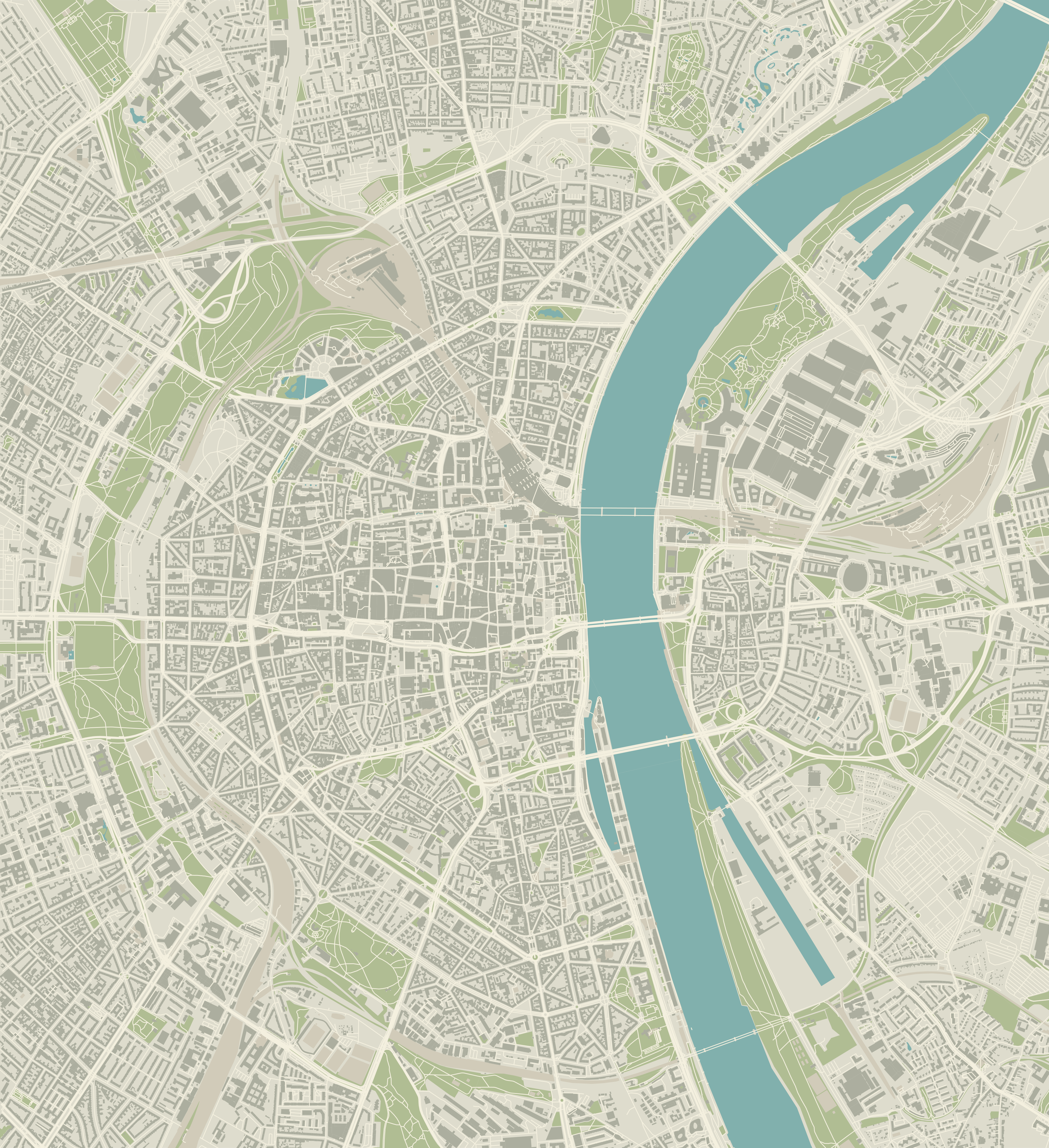
Map of the Cologne city centreN
ALTSTADT-NORD0 km/h
W A S D moveSHIFT runE enter / exit carSPACE jumpSPACE brake · W/S throttle · A/D steerV cameraM mapF fullscreenClick the scene to look around · Esc releases mouse
You're here.

Alter Markt

WASD to walk · Hold Shift to run
Click the scene to capture your mouse.
Or drag to look around.

PICK A STARTING POINT
YOUR NEXT STOP

Where to?

THE CITY BEHIND THE MODEL

Built from the map.

This is a playable Three.js interpretation of central Cologne: Altstadt, Neustadt, the inner green belt, and Deutz, with streets, building footprints, courtyards, mapped trees, parks and the Rhine.

Sources, credits & dataset downloads ↗

Map data reflects the source snapshot, not a live scan. Heights use mapped height or floor-count tags where available, with estimates elsewhere. Façades, decorative landmarks, and ambient vehicles are procedural approximations. Official terrain covers a 1.94 km² central corridor, including detailed Domplatte, Ebertplatz and Friesenplatz patches, from 2022 survey data. Ground beyond this coverage remains simplified. Hohenzollernbrücke has a raised railway deck and connected paths; its elevation and ramps are approximate. Junction signals and crossing layouts are simulated, not surveyed. Façade materials combine locally bundled photographic scans with interpretive windows. Official NRW LoD2 geometry covers 11,109 matched building IDs within a twelve-square-kilometre central subset; the remaining buildings use OSM geometry and height estimates where needed. The Rhine has simulated ripples, sky reflections, vessels and wakes. Trees use branching models with cutout leaves and wind. The café, kiosk and claimed homes have furnished, fictional interiors. Press E at a marked door to enter or leave. An optional fictional Cologne carnival parade follows a 13.2 km street circuit with floats, marching groups and confetti. Use Find the parade to join it, Route to see its circuit, and the music button to enable the nearby marching beat. This is not the official Rosenmontag route.

Walk with WASD or arrow keys, run with Shift, jump with Space. Press E beside a marked door to enter a room, or beside a stopped car to enter, or choose Drive a car. While driving: W/S accelerate and reverse, A/D steer, Space brakes, and E exits after stopping. Drag or capture the mouse to look around. V switches first/third person; M opens the city view; F toggles fullscreen. P opens photo mode to compose and save a credited image; Esc returns to play. Press ? to show or hide the controls. Double-click the overview to travel there.

Map data: OpenStreetMap / ODbL ↗ · Snapshot metadata ↗ · Download map extract ↗ · Landmark coordinates & sources ↗ · Official building geometry sources ↗ · Photographic texture sources ↗ · Alter Markt stone materials ↗ · Generated foliage asset ↗ · Generated window artwork ↗
p·placesCOLOGNE / OPEN CITY
YOUR CITY IS TAKING SHAPE

Cologne is
taking shape.

We’re getting the city ready for you to walk, drive and explore.

Opening Cologne…

Starting the city engine and loading the map.

0 seconds elapsedPreparing a playable 3D city

Why does this take a moment?

The first visit downloads the map and visual assets. Your device then prepares thousands of buildings, streets and city details in 3D. Both your connection and your device affect how long this takes.